The Planning leader and urban designer based in HOK’s New York studio discussed design strategies for helping New York City prepare for the projected 6-foot or more of sea level rise by 2100.
Rising sea levels from climate change will severely impact many major coastal cities, including New York City. HOK’s Planning + Urban Design practice, led by Bill Kenworthey, explored equitable, resilient solutions to this long-term threat in Fast Company.
 Excerpted from Fast Company:
At the tip of lower Manhattan, New York City is building a massive system of floodwalls and floodgates, in preparation for rising sea levels and more powerful storms. The City also plans to bury a waterfront park under 8 to 10 feet of landfill, raising the land to help hold back the water in future storms and try to avoid what happened in Hurricane Sandy in 2012, when nearly 5 feet of water submerged the area.
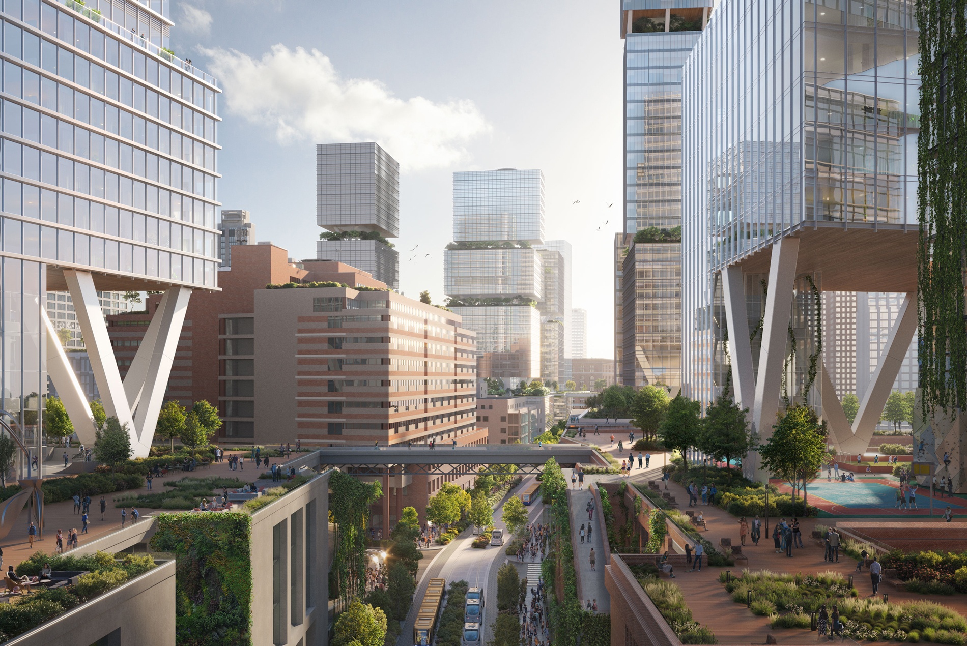
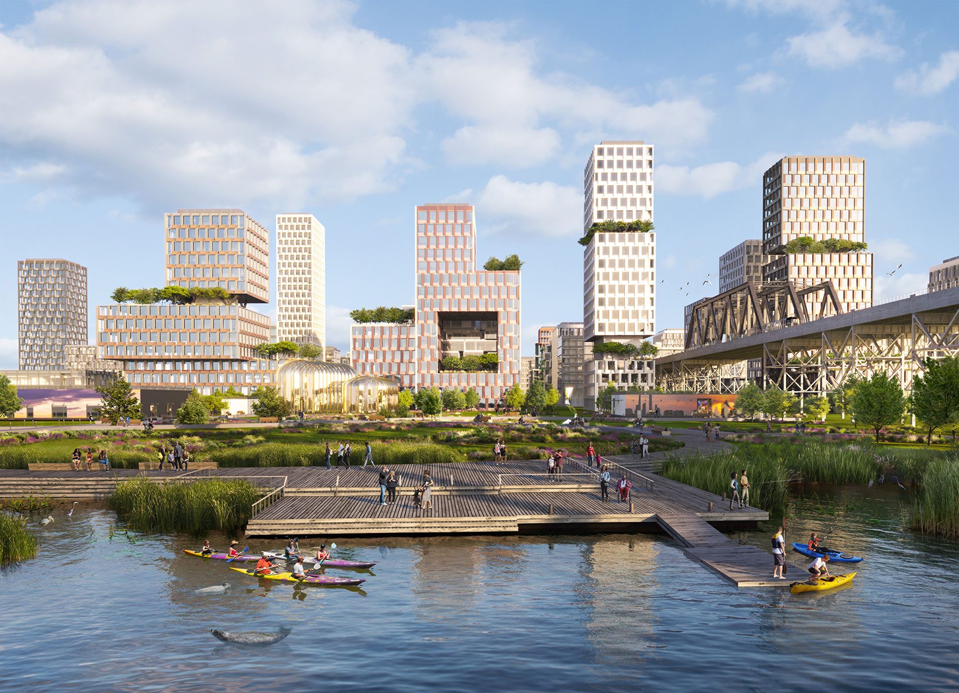
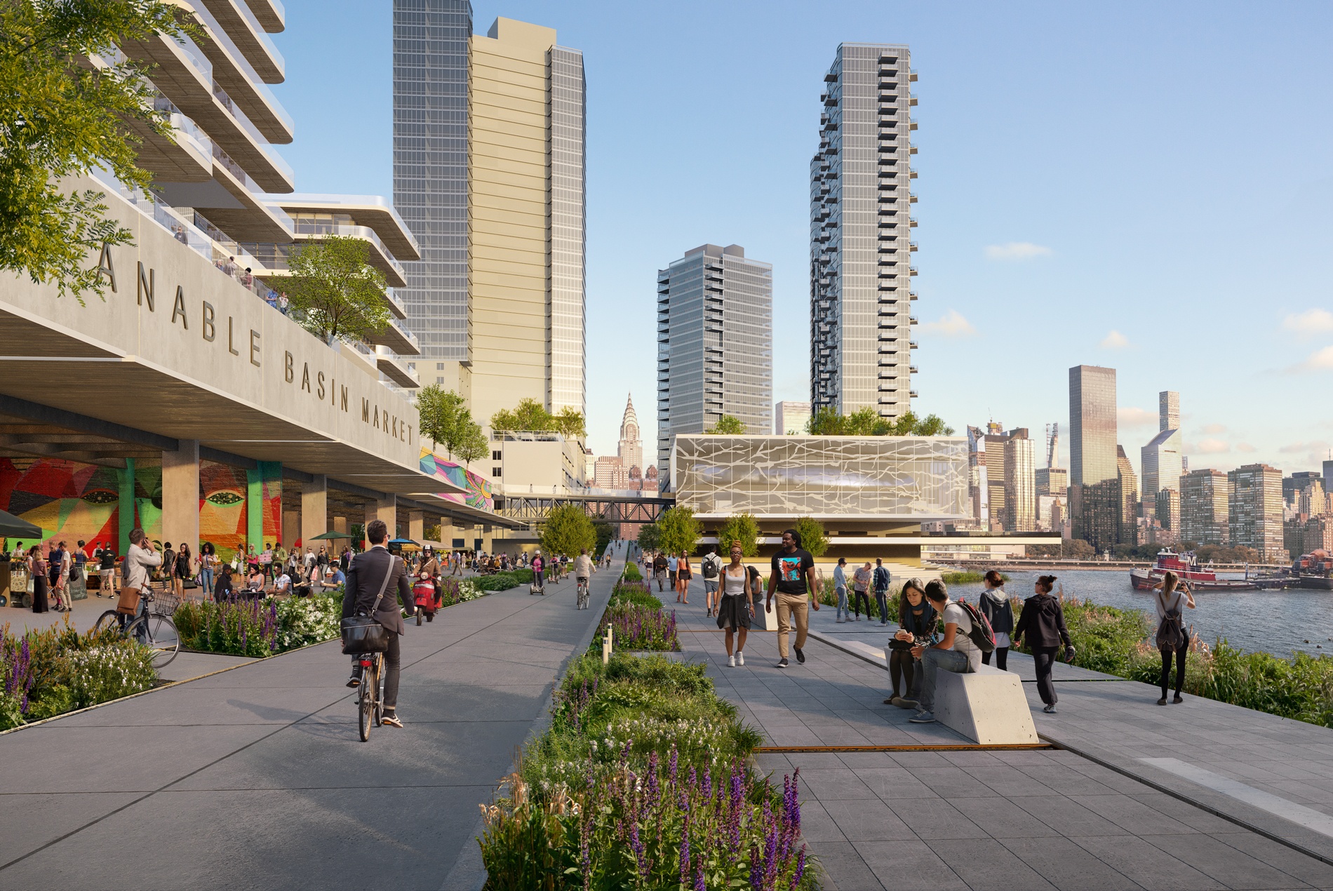
In a new project, the design, architecture, engineering, and planning firm HOK explores how the rest of the city could adapt to rising sea levels.
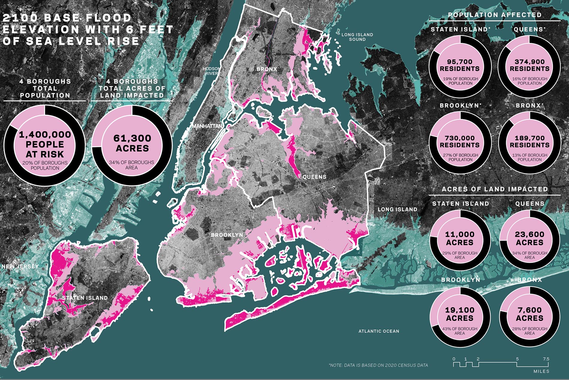
The challenge is huge: By 2100, as the population in New York City grows to 10 million, the sea level could be 6 feet higher. “When you look at that 6 feet of sea level rise and what’s going to be underwater in the future, we’re looking at 20,000 acres of the city and about 280,000 residents,” says Bill Kenworthey, planning leader for HOK’s New York practice, who previously worked on a resiliency plan with the Bloomberg administration, which was based on earlier, lower projections of sea level rise. Perhaps as many as a third of those at-risk residents, he says, will be living in public housing. Another 1.4 million residents will be at risk from periodic flooding. Hundreds of healthcare facilities, 18 power plants, 52 subway stations, and more than 19,000 acres of parks are also at risk from flooding or going permanently underwater.
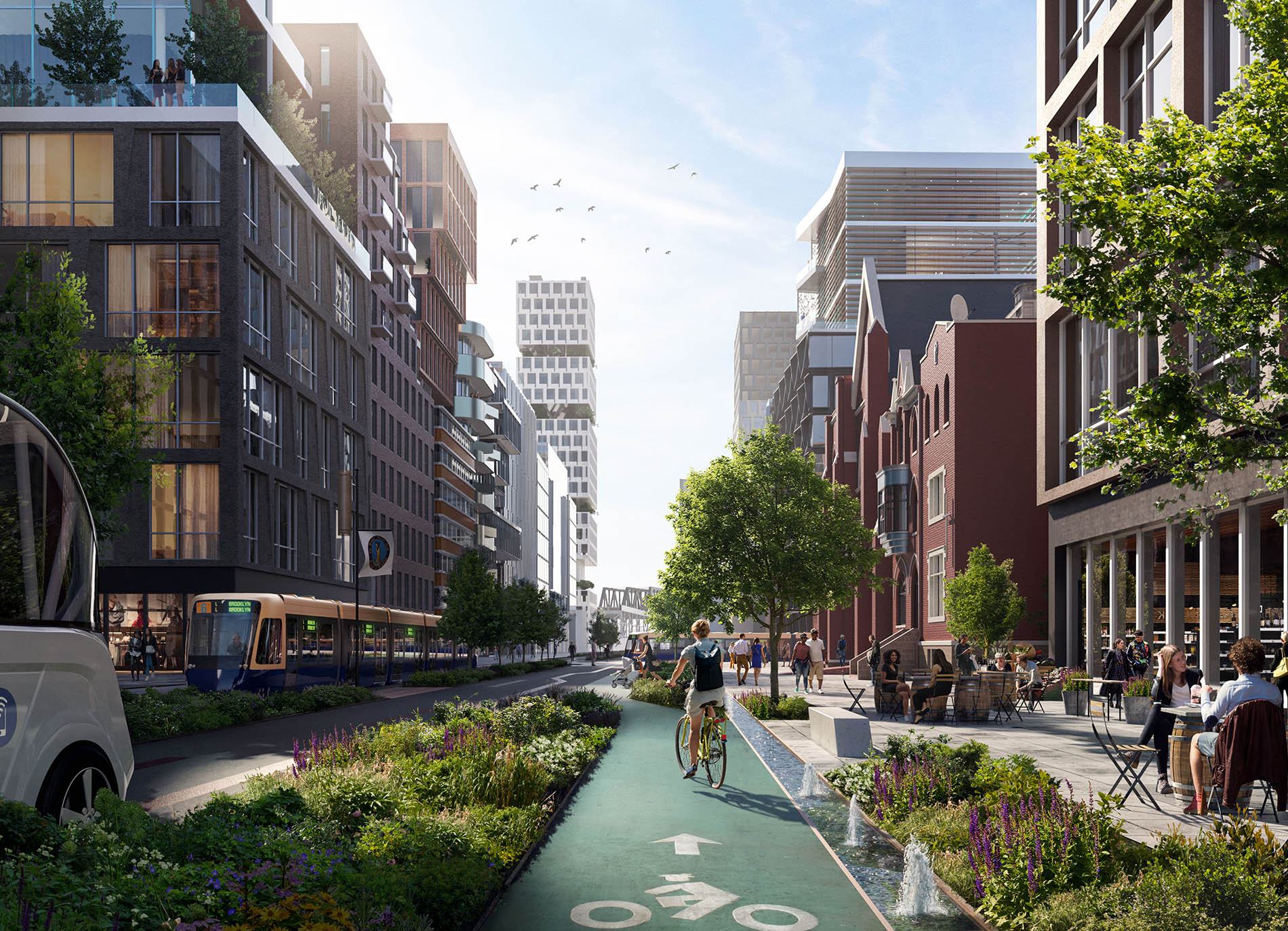
In the project, as the designers mapped out where sea level rise will impact the city, they also looked at where there’s currently space to build on higher ground. Vacant lots, parking lots, and other underbuilt spaces sit on 7,300 acres within five minute walks of existing and planned subway and light-rail stations. Some of that land could be used to build new housing in dense, mixed-use neighborhoods so people and businesses could move out of the areas most at risk.
Related: A Resilient Transit-Oriented Development on New York’s Governors Island